boundary ownership and extensions in Surrey

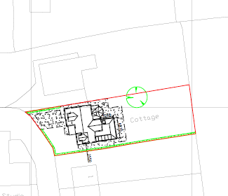
When making a planning application you will require an OS map to accompany it. This clearly identifies the area and location that the planning application refers to. It also shows the relationship of the application with the neighbouring properties.
Clearly identifying the boundary and the determining the party who is responsible for its upkeep and maintenance can in some instances be very difficult.
The UK Land Registry website provides guidance on these matters and the procedure for determining the boundary ownership.
It also describes how you can have these details added to the Land Registry Document to prevent issues in the future.